Home | Comprehensive Service Provider For PMFBY | In-season Crop And Weather Monitoring
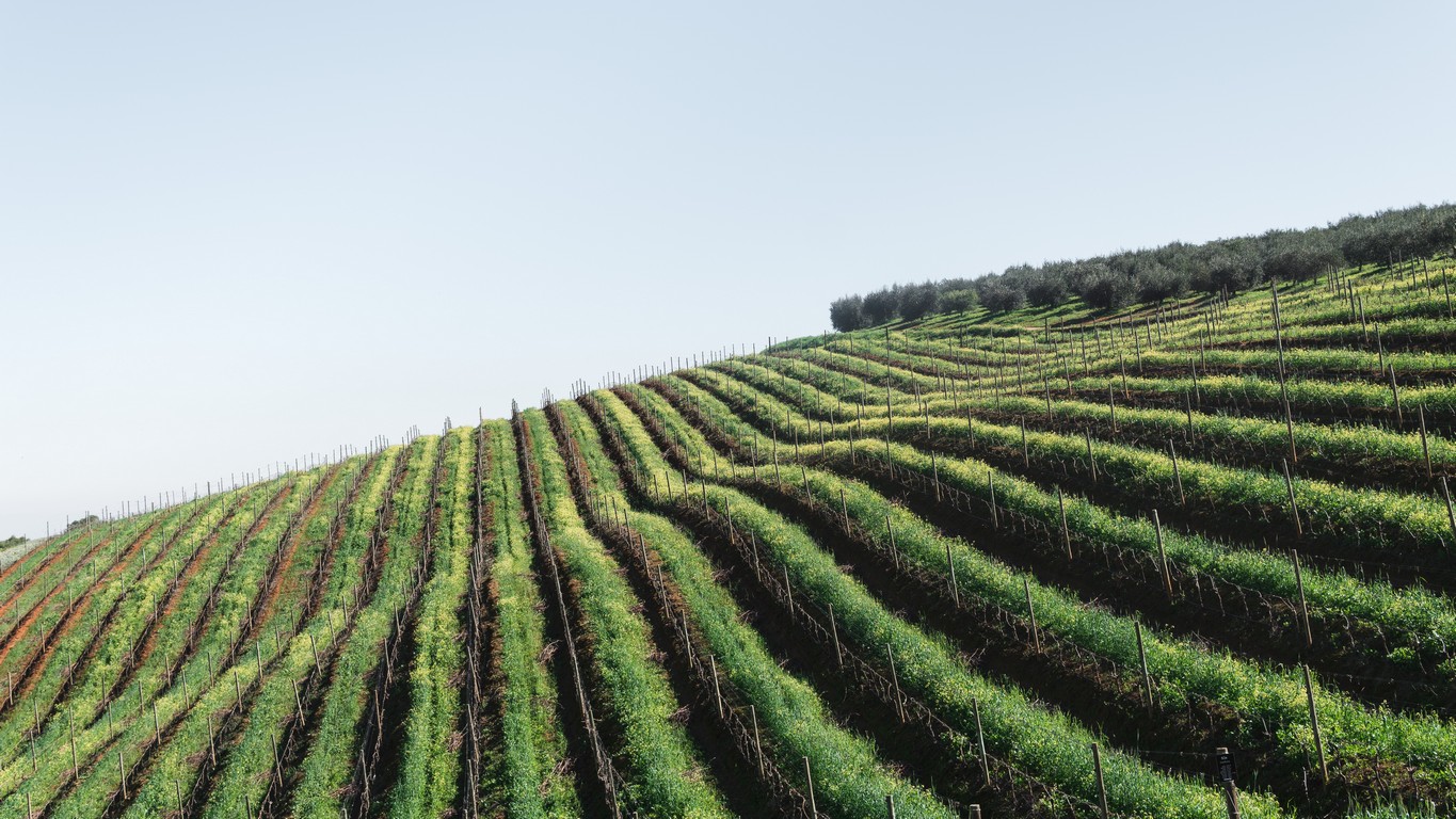
With proper adoption of technology along with agricultural science, we have designed innovative solutions for Integrated Crop Health & Weather Monitoring. This technology provides the outcomes to the farmers to decide the course of action to prevent the crop loss, by sharing the real time data via utilities such as mobile apps. By reducing crop losses the number of claims can be reduced as well as the data will help in decision making of premium amounts.

Features
- Accurate data collection for particular farm within the field
- Easily availability of data
- Data representation in user readable patterns, maps, charts etc.
- Crop signature
- Crop vigorous indices representation
- Advisory and Alert services
- Crop health monitoring
- Soil health monitoring
- Irrigation and fertilizer scheduling
- Software based interaction between farmers and insurance company
- Crop surveillance
- Crop stress detection
- Crop suitability
The Integrated Crop & Weather Monitoring System is a robust crop yield forecasting system.
The system inspects following risks which lead to crop losses:
- Sowing/Planting Losses- It includes analysis of deficient rainfall or adverse weather conditions which lead to losses in yield due to missing of sowing window.
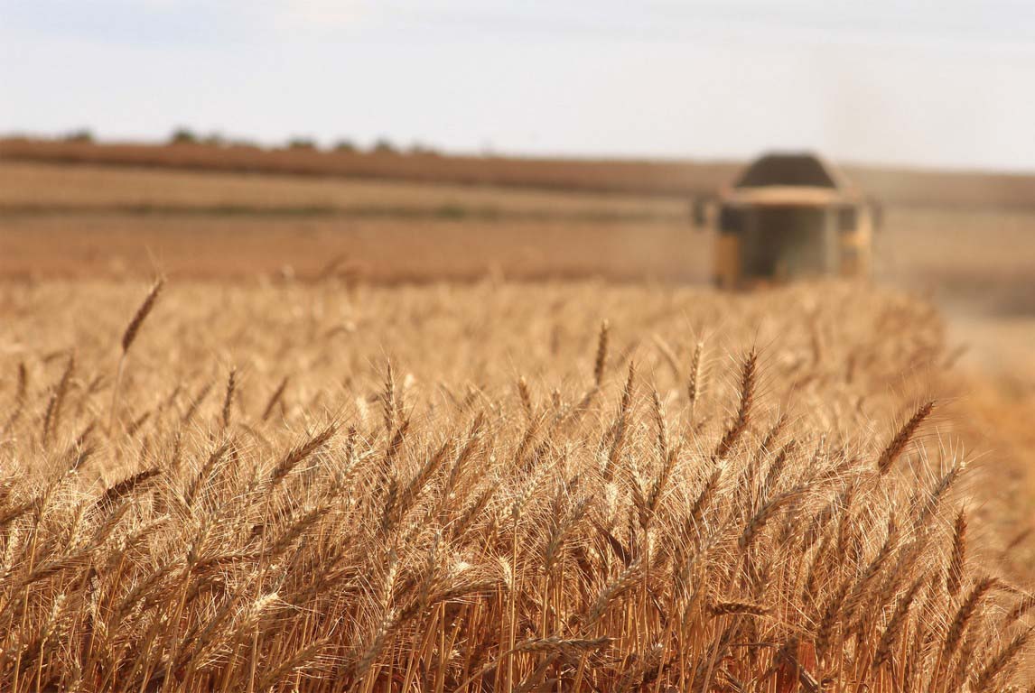
- Standing Crop Losses- The system examines crop yield losses due to non-preventing causes such as drought, dry spells, flood, inundation, pests and diseases, landslides, natural fire and lightening, storm, hailstorm, cyclone, typhoon, tempest, hurricane and tornado.
- Post-harvest Losses- The system also studies cyclones, cyclonic rain and unseasonal rains which may cause post- harvest losses.
- Localized cause for Losses- Losses due to hailstorm, landslide and inundation are also evaluated for isolated farms within an area.
Real time on-field data monitoring in concert with remote sensing allows systematic estimation of damages. The system maintain database of previous year data and present data for a particular farm within the field.
System keeps record of following parameters to assess disasters:
- Hazard identification to identify the nature, location, intensity and likelihood of a threat
- Vulnerability analysis to determine the existence and degree of vulnerabilities and exposure to damage
- Analysis of resources available to reduce the level of risk, or the effects of a disaster
- Risk analysis to determine levels of risk
Advantages
- Remote sensing using UAVs rather than expensive satellites
- Data collection over small fields for individual farm assessment
- Data record are stored in mobile based app
- Photographic Air Surveillance
- Insurance enrolment and claims using mobile app
- Advanced Crop Cutting Experiments using time saving mobile app
Benefits
- Use of technology gives data in more accurate digital form
- Helps farmer to maintain farm with error-free inputs
- Alerts insurance company about the progress of farm
- Helps reducing crop losses, hence ultimately reduces number of claims.
- Provides accurate geo-surveillance data with high resolution
- Early Estimation of claims and risk assessment
- Large data is available within less time
- System is portable and easy to maintain